Championing a trial for MoRPh Estuaries
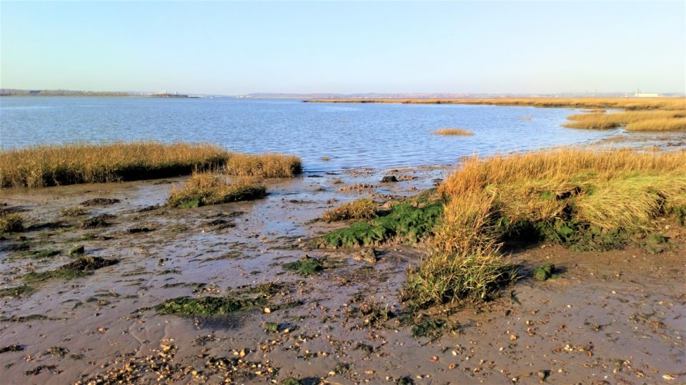
Responding to the widely recognised need for an appropriate habitat assessment tool for estuaries, the Environment Agency, Queen Mary University of London (QMUL), and Cartographer have developed the MoRPh Estuaries survey to support the monitoring and appraisal of baseline and post-project habitat conditions plus modelling of target condition to support mitigation design.
The approach complements MoRPh Rivers and two versions of the survey have been developed: MoRPh Estuaries CS for use by trained Citizen Science volunteers and academic researchers; and MoRPh Estuaries Pro for professional applications.
Recent funding success from the EA’s Championing Coastal Coordination (3Cs) programme has opened up the opportunity to work with Thames21, QMUL, the Wyre River Trust, and national River Trust, to trial the citizen science method, gather field data, and refine indices. The 3Cs project will run until March 2022.
Research funding from QMUL is also supporting trials with professional users with an interest in how the impacts of development upon estuarine habitats can be minimised and mitigated through appropriate design and delivery that meets the needs of society without compromising biodiversity and nature recovery objectives alongside of wider benefits.
We welcome interested parties to get in contact to work with us to test the survey, help gather data, and refine the current list of indices, especially where these can be tailored to meet the needs of specific professional applications. Simply follow the link below.