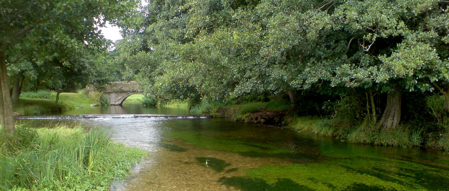
Assessing the quality of physical habitat and functioning of river systems is vital for informing management to sustain our water dependent wildlife and provide fresh water and flood protection for our communities.
The Modular River Survey enables river enthusiasts and citizen scientists to get involved with recording and assessing physical habitat and hydromorphological functioning in their local rivers and streams. Thanks to recent additions, the MoRPh method can also be applied to seasonally wetted or temporary streams including our nationally important and globally rare chalk rivers.
The MoRPh field survey and assessment outputs will be of interest to anyone working within catchment partnerships or local groups with an interest in river monitoring and assessment. Records are stored in the Modular River Survey database and are freely available online.
Get in touch with us if you would like to contribute:
MoRPh Rivers was developed in partnership with Queen Mary University of London and the Environment Agency.
Survey Tools
Modular River Survey provides three tools for assessing rivers:
1. MoRPh Survey
A field survey that characterises the local physical structure of a river channel and its margins at a scale that complements biological surveys. The survey is typically conducted over a river length of 10 to 40m. Data are entered into the MoRPh database by trained surveyors. 14 numerical indicators are extracted from the survey data and can be mapped and downloaded along with the raw data.
2. MoRPh10 Survey
A sequence of 10 adjacent MoRPh surveys provides a more comprehensive audit of habitats over a river subreach of 100 to 400m in length. MoRPh10 subreaches are automatically extracted from the MoRPh database and are mapped using 16 integrative indicators.
3. HydroMoRPh Survey (Under Development)
A reach-scale (5 to 10 km) desk assessment based on aerial images (air photos, maps, remote sensing) and open source data (geology, hydrology) to characterise present and past properties of a river reach over an extended time period (50+ years), to aid interpretation of MoRPh and MoRPh10 survey data.