Assessing the quality of physical habitats and functioning of river systems is vital for informing management to sustain our water dependent wildlife and provide fresh water and flood protection for our communities. Our surveys and assessment outputs will be of interest to anyone working within catchment partnerships or local groups with an interest in river monitoring and assessment.
Records are freely available online and are stored in a database which provides a user-friendly format for gathering, storing and sharing data. This ensures that once you have used one of our family of surveys, data management across all other surveys is intuitive.
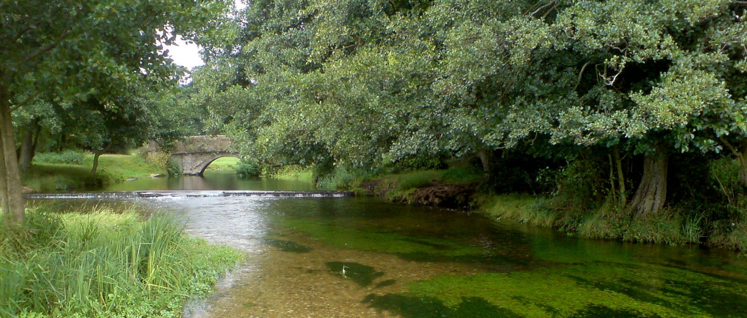
Five surveys are currently available for application by Citizen Scientists:
- MoRPh Rivers provides detailed records of river physical habitats and a set of assessment indicators for short lengths of river at a spatial scale compatible with biological and water quality monitoring. It is ideal for monitoring the form and functioning of rivers and streams and how these change in response to natural processes or human interventions. Follow this link to find out more about MoRPh Rivers citizen science training.
- Urban River Survey provides a broad overview and high-level assessment of physical habitat quality of a ~500m stretch of river. It generates high-level river quality assessments that are ideal for capturing broad changes across a catchment river network. Get in touch via our Contact page if your group is interested in URS training
- Mud Spotter is a walkover survey ideally suited to rainy days! – or times soon after recent downpours. Mud Spotter records locations and quantities of mud entering water courses. Follow this link to find out more and sign up to start collecting data using Mud Spotter.
- MoRPh Estuaries extends MoRPh Rivers downstream to assess the physical condition of the sub-, inter- and supra-tidal zones of estuaries. It is currently being piloted with volunteers and professionals on the tidal Thames and other estuaries around the UK. Follow this link to find out more and help trial MoRPh Estuaries.
- Riverwood is a walkover survey that captures wood structures in streams whether built by trees, beavers or humans. The basic survey is easy and rapid to use, with more detailed optional components to characterise wood structure and related physical habitats. The survey aims to assess degradation of the natural wood cycle and to aid design of sustainable wood interventions. We are keen to work with groups who would like to pilot Riverwood so get in touch via our Contact page.
Want to design a different type of survey of your own? Get in touch via our Contact page!