Urban River Survey was developed from research undertaken at the University of Birmingham, King’s College London and Queen Mary University of London supported by funding from NERC’s URGENT Thematic Programme and the SMURF EU Life programme.
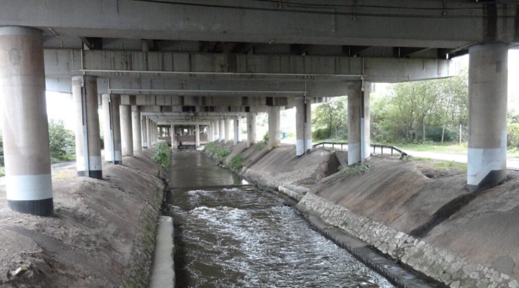
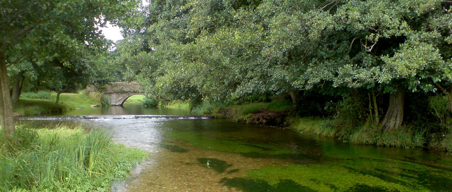
The Urban River Survey (URS) captures the broad physical character of a river channel and its margins over a typical river length of 500 m. Developed from the River Habitat Survey, the Urban River Survey incorporates more information on the nature of human pressures and interventions within urban and suburban environments. Although the URS was designed for application in urban and suburban environments, it can be applied in more rural situations and so it is particularly useful for exploring differences in river physical characteristics across river networks to give, for example, a picture of how physical and vegetation structural habitats and human interventions change across a catchment river network.

History
Urban River Survey was originally developed between 1998 and 2001 at the University of Birmingham. It resulted from PhD research by Angela Davenport supervised by Angela Gurnell and Patrick Armitage, which was funded by NERC’s URGENT Thematic Programme. The method was applied and refined during the SMURF EU Life project and was further applied in the PhD research of May Lee at Kings College London between 2004 and and Lucy Shuker at Queen Mary University of London between 2009 and 2012.
The survey has been particularly extensively used in three cities: Birmingham, Dublin and London.
The Urban River Survey is a key component of a multi-scale assessment of the form, physical habitat characteristics and dynamics of the river network of the River Crane in west London. Here citizen scientists and river professionals are working to understand the functioning of the river and to introduce and monitor sustainable river restorations across this Thames Water Smarter Water Catchment.
Publications
Davenport, A.J., Gurnell, A.M., Armitage, P.D., 2001. Classifying urban rivers. Water Science and Technology, 43, 9, 147-156.
Davenport, A.J., Gurnell, A.M., Armitage, P.D., 2004. Habitat Survey And Classification Of Urban Rivers. River Research and Applications,20, 687-704.
Boitsidis, A.J., Gurnell, A.M., Scott, M., Petts, G.E., Armitage, P. A , 2006. Decision support system for identifying the habitat quality and rehabilitation potential of urban rivers. Water and Environment Journal, 20, 130-140.
Gurnell, A.M., Lee, M., Souch, C., 2007. Urban rivers: Hydrology, Geomorphology, Ecology and Opportunities for Change. Geography Compass 1, 1118–1137.
Gurnell, A.M., Shuker, L., Lee, M., Boitsidis, A., 2012. Gradients in the biophysical structure of urban rivers and their association with river channel engineering. River Research and Applications, 28, 908-925

Modular River Survey training courses, including Citizen Science courses, are run by Cartographer Studios under their Training Terms.

