Riverwood is the product of over 40 years research on wood dynamics and management in streams across the New Forest, Hampshire, England. Throughout this time, the research has been conducted with the permission of Forestry England.
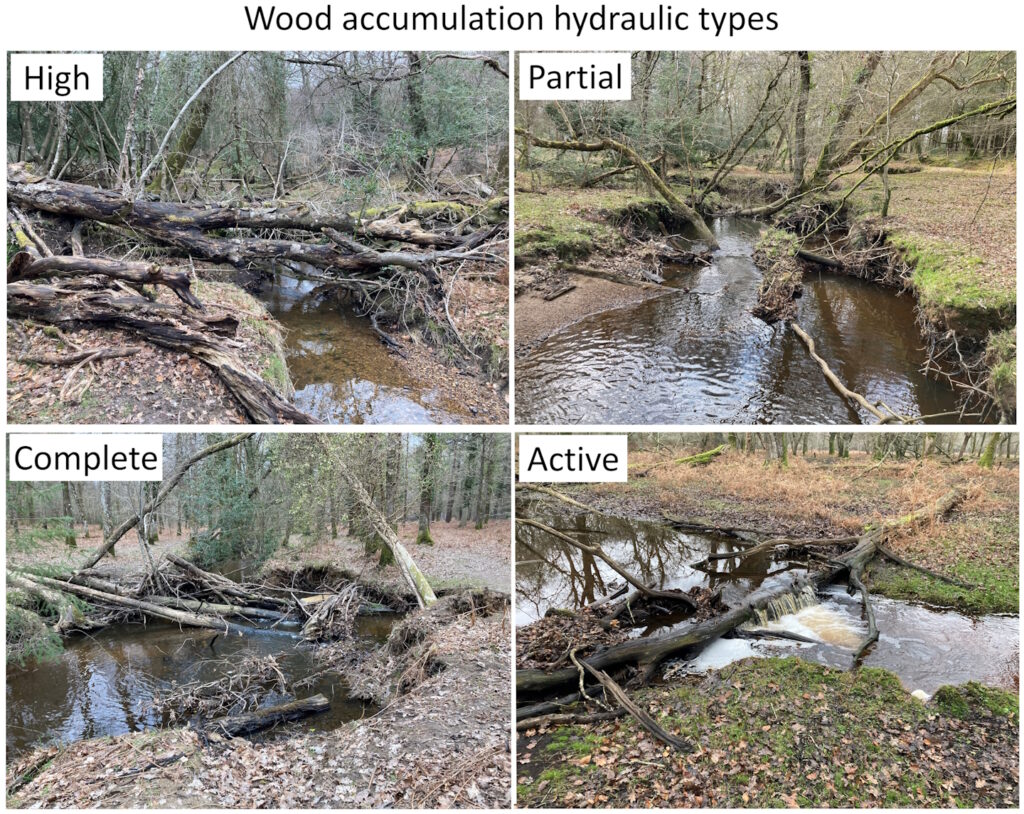
Riverwood is a walkover survey that captures wood structures in streams whether built by trees, beavers or humans. The basic survey is easy and rapid to use. More detailed optional components allow details of the wood structure and of adjacent physical habitats to be recorded.
The survey can be used for two main applications:
To assess degradation of the natural wood cycle and thus the opportunities for its restoration
To aid design of sustainable wood interventions that not only contribute to flood alleviation but also to enhanced physical habitat diversity and turnover that can help to support aquatic organisms.

We are keen to work with groups who would like to pilot Riverwood so get in touch via our Contact page.
History and Publications
Riverwood is based on a walkover survey developed by Professor Ken Gregory and applied widely in the New Forest during 1991, when he was at the University of Southampton. A more detailed method for assessing the properties and physical habitat mosaic induced by individual wood accumulations was developed by Professor Angela Gurnell and applied to New Forest streams during the 1990s when she was at the Universities of Southampton and Birmingham. Both these researchers have worked with colleagues to record wood accumulation locations and properties in the New Forest over four decades. These surveys will gradually be added to the Riverwood database as an historical record.
The following publications give details of the walkover surveys conducted in 1991 and 2024.
Gregory, K.J., Davis, R.J., Tooth, S., 1993. Spatial distribution of coarse woody debris dams in the Lymington Basin, Hampshire, UK. Geomorphology, 6(3), 207-224.
Gurnell, A.M., Hill, C.T., Davis, R.J., Tooth, S., 2022. Trees, large wood and streams: Using archive survey data to inform changing interactions in a human-impacted landscape. Earth Surface Processes and Landforms, 47(14), 3224-3238.
Gurnell, A.M., Hill, C.T., Tooth, S., in review. Surveys conducted a third of a century apart reveal changes to in-stream large wood, riparian vegetation, and stream planform in response to management within a UK National Park.

Modular River Survey training courses, including Citizen Science courses, are run by Cartographer Studios under their Training Terms.

